
Riparian buffer strip property tax incentives
This item is available in full to subscribers.
To continue reading, you will need to either log in to your subscriber account, or purchase a new subscription.
If you are a current print subscriber, you can set up a free website account and connect your subscription to it by clicking here.
If you are a digital subscriber with an active, online-only subscription then you already have an account here. Just reset your password if you've not yet logged in to your account on this new site.
Otherwise, click here to view your options for subscribing.
Please log in to continue |
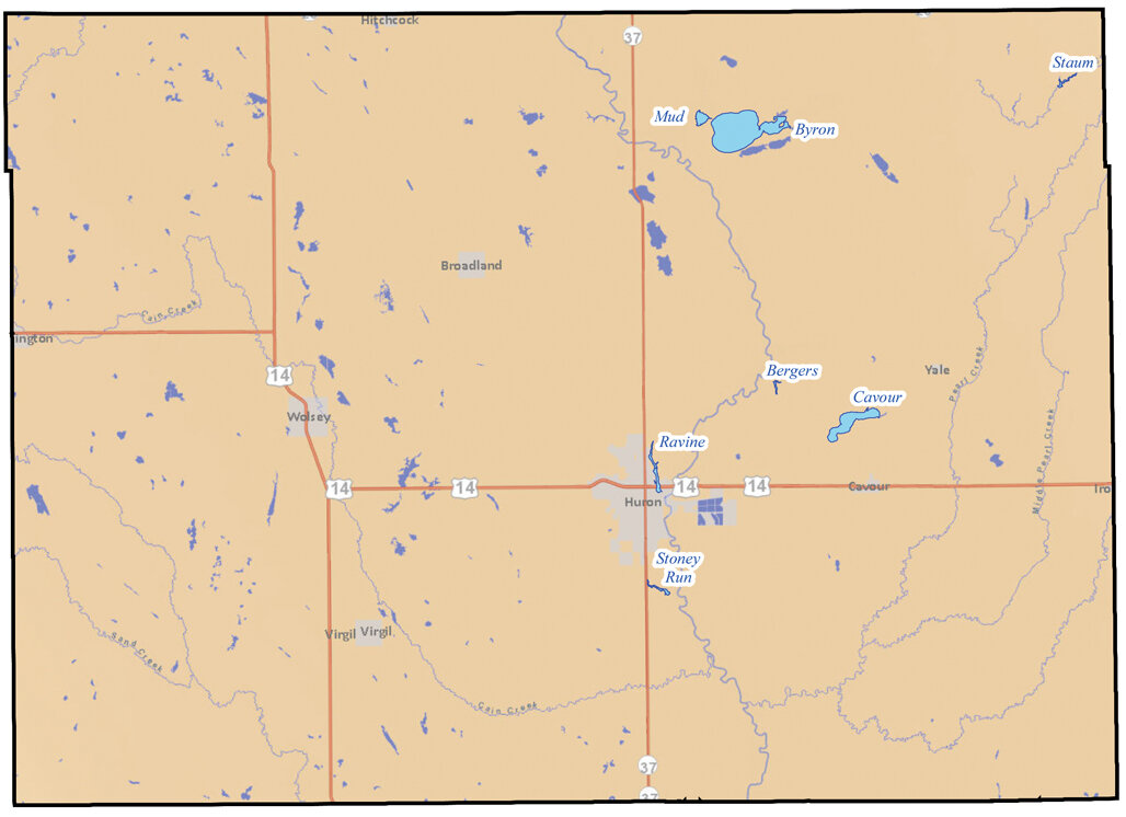
PIERRE — South Dakotans can now apply to receive riparian buffer strip property tax incentives, Gov. Dennis Daugaard announced Wednesday.
To aid prospective applicants, the Daugaard Administration has rolled out a new web map to help landowners determine which waters qualify under the new riparian buffer strip program.
“South Dakotans place a very high value on the water quality of our lakes and streams,” Gov. Daugaard said. “I expect many South Dakotans will choose to participate in this program to help improve water quality in our state, and this new map makes it easy to understand who qualifies.”
Photos:
The one map shows the lakes in Beadle County. The other shows the streams in Beadle County.


