EagleView to produce aerial images of Beadle County

Posted

HURON – Light aircraft piloted by young men and women and loaded with high-tech sensors will soon be in the air over Beadle County, capturing images for a new website benefiting local governments, potential new industries and residents.
EagleView began using pictometry aerial imagery technology to map the county last fall and will return as soon as the snow has disappeared.
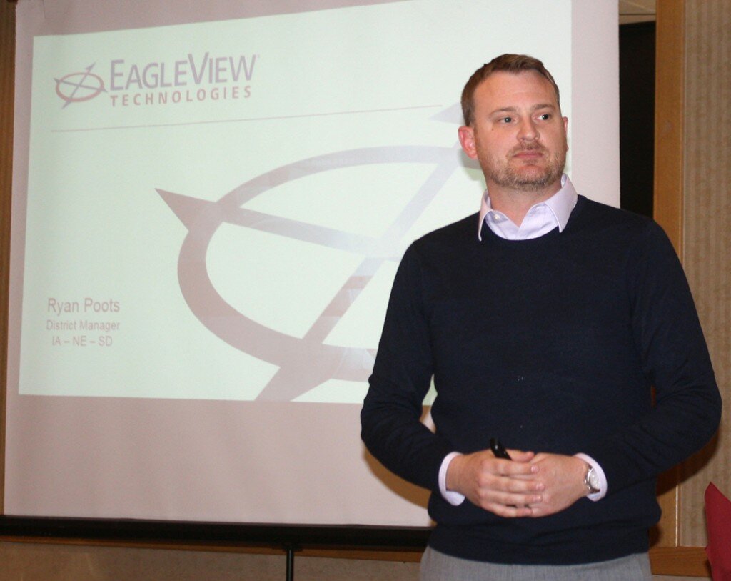
Ryan Poots, the company’s district manager for South Dakota, Nebraska and Iowa, showed examples of what the technology is doing in its contract with Beadle County at the annual State of the County luncheon on Thursday.
“This is the kind of imagery that EagleView produces and captures so every office in the county, and in the cities if they so choose, has a three-dimensional perspective of every structure throughout the county,” he said.
A 360-degree image is captured of every structure, and every pixel, the squares that make up an image, is geo-referenced to the ground, he said.
“All that means is that we know exactly where this image is in relation to the Earth and because of that you can do some really cool things with this imagery,” Poots said.
Joining him was Harry Redman, Geographic Information System mapping technology coordinator for the Third Planning District in Yankton. He shared with the audience many of the basic features of the MapNet websites being developed in a number of counties in eastern South Dakota.
The planning districts are working together on the technology. Because the First Planning District in Watertown has more computer programming capabilities, the public MapNet website can be found at www.1stdistrict.org/beadlejs. But there’s also a link on the Beadle County website.
The technology makes the work of county employees, particularly those in the assessor’s office, more efficient, Redman said. They can do quick property assessments from their desktops instead of having to make on-site visits in the county, he said.

Three years from now a second flight by EagleView pilots will allow for a comparison to show any new construction or demolition of structures, Redman said.
The aircraft take up to six different pictures at one time, Poots said.
“So we have that straight down perspective there, and we also have these other cameras that are in the belly of the plane that take them at the angles,” he said.
EagleView has a fleet of 118 aircraft around the country. It works with 1,500 counties. The pilots are typically men and women about 25 years old who are accumulating flight hours so they can qualify to be commercial airline pilots.
“If you see some planes, they’re just really basic Cessna planes,” Poots said. “They’re really good at flying low and slow.”
EagleView images have better color and clarity that is more natural because there is less atmosphere between the sensors and the ground than the images taken from satellites, he said.
“Instead of taking it at 20 miles above the Earth, we’re taking it at 2,000 feet above the Earth,” Poots said.
Local residents will soon be seeing the Cessnas flying over Beadle County, he said.
“A lot of them are in Iowa, Nebraska, South Dakota right now because we kind of move north as the leaves start to come on south, so we’ve kind of got your airspace invaded,” he said.
Basic features of the website include the names the owners and the addresses and legal descriptions of properties, building and land values, taxes, soil types, zoning information and hydrology data.
Also in the contract is a provision providing for disaster coverage. In the event of a natural disaster such as a flood or tornado, the planes will return to map impacted areas at no cost.
Economic development officials and potential industries looking at new sites will also find the technology to be helpful, Redman said.
“They can do measuring, they can do buffering, they can put graphics on the map so they can draw their own little site plan out so they can show the potential prospect how far away they are from water or sewer,” he said.
Some cities and counties include the trail systems on the site. Mitchell will be mapping out golf courses, and a drone will fly over each hole. Yankton posts its historic homes so viewers can see a photo of each of them and read brief histories.
Redman said Yankton has mapped out the Mount Marty campus, complete with three-dimensional panoramic videos inside the buildings for prospective students.

PHOTOS BY ROGER LARSEN/PLAINSMAN
Ryan Poots, district manager for EagleView in South Dakota, Nebraska and Iowa, explains the company’s pictometry aerial imagery website it is developing in a contract with the Beadle County Commission.

Next, local governments and others in eastern South Dakota are benefiting from new Geographic Information System websites whose features were described at Thursday’s State of the County luncheon by Harry Redman, GIS coordinator for the Third Planning District in Yankton.